01Observed
Real mill scan
Field point-cloud observation
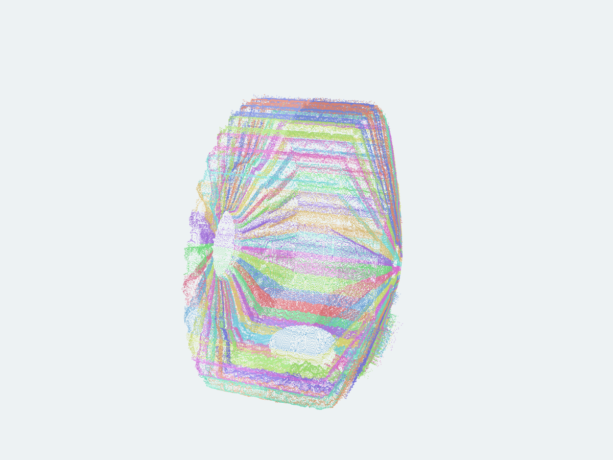
54,730,187Original scan points
domestic-sagSAG / SPATIAL DATA
Real point clouds · Spatial liner state
We turn real mill scans into structured spatial liner state so geometric change becomes computable and traceable.
Real field observations and surroundings enter view
data path
Field point-cloud observation
A real field observation from a SAG mill at a domestic mine, with its source and spatial context retained.
evidence / 01
Every number below comes from the same anonymous case evidence. It proves an operating workflow, not certified metrology or cross-machine accuracy.
Spatial Liner Cell01 · Real case
Follow the physical axis toward the shell, overlay the new-liner and operating scans inside shared coverage, then inspect the profile and spatial difference.
02 · Data infrastructure
Each Spatial Liner Cell carries time, coordinates, geometry, relative change, coverage, and evidence boundaries. That traceable object can later support simulation and liner-wear machine learning.
View the data pathField observation points
Comparable cells with shared coverage
θ-z coverage
Simulation and ML · Future direction